Forests, Seen Anew: How Drones are Revolutionizing Forest Monitoring
Selected Theme: How Drones are Revolutionizing Forest Monitoring. Step into the canopy’s future, where quiet propellers, smart sensors, and courageous rangers work together to protect woodlands with precision and heart. Join the conversation, subscribe for fresh field stories, and help shape smarter stewardship.
Why the Canopy Needs Eyes in the Sky
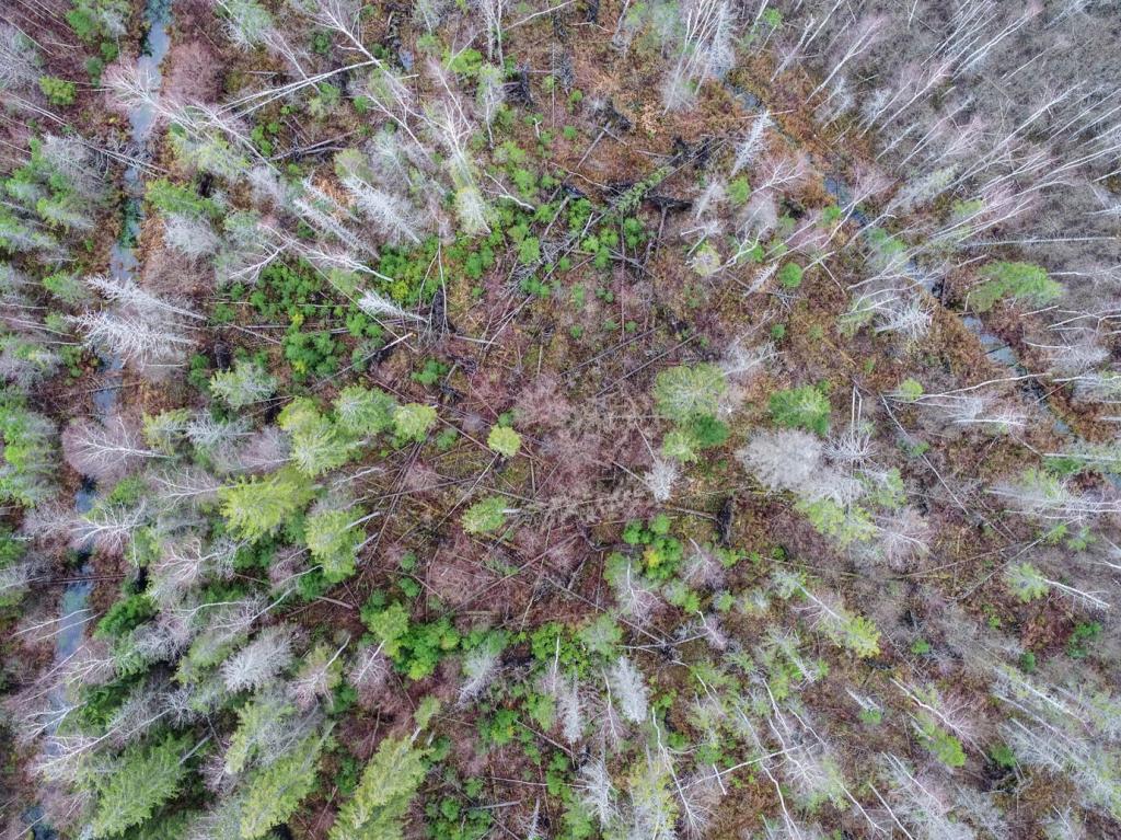
For decades, monitoring meant long hikes, binoculars, and luck. Drones now sweep ridgelines in minutes, stitching aerial maps that reveal subtle stress bands before humans notice. Have you seen a canopy mosaic from above? Share your first impressions and tell us what surprised you most.

Sensors in the Sky: Payloads that Decode Forest Health
Multispectral cameras measure reflectance beyond human vision, capturing indices like NDVI and NDRE that signal water stress and chlorophyll loss. In one oak reserve, early spectral dips flagged drought pockets two weeks before leaves dulled. Want a beginner’s cheat sheet to indices? Ask below and we’ll publish one.
Fire Watch 2.0: Early Detection and Rapid Response
Embers Spotted Before Smoke Rises
Thermal drones sweep fire-prone edges at dawn, spotting heat signatures invisible to tired eyes. Last season, a patrol flagged a hotspot near a recreation trail; crews snuffed it before winds built. Would your team benefit from pre-dawn scans? Subscribe for our checklist that streamlines pre-flight routines.
Coordinated Response, From Map to Mop-Up
Real-time orthomosaics guide crews around flare-ups, highlight safe ingress routes, and mark water sources with precise coordinates. After containment, drones confirm no lingering heat, saving costly redeployments. Share your mapping workflow, and we’ll feature the best tips in an upcoming field-tested playbook.
Counting Nests without Climbing Trees
High-resolution imagery identifies raptor nests along cliff faces that once required dangerous climbs. By flying outside sensitive distances and times, teams count accurately while leaving families undisturbed. Have species-specific buffer advice? Add your guidelines so others can learn from real field experience.
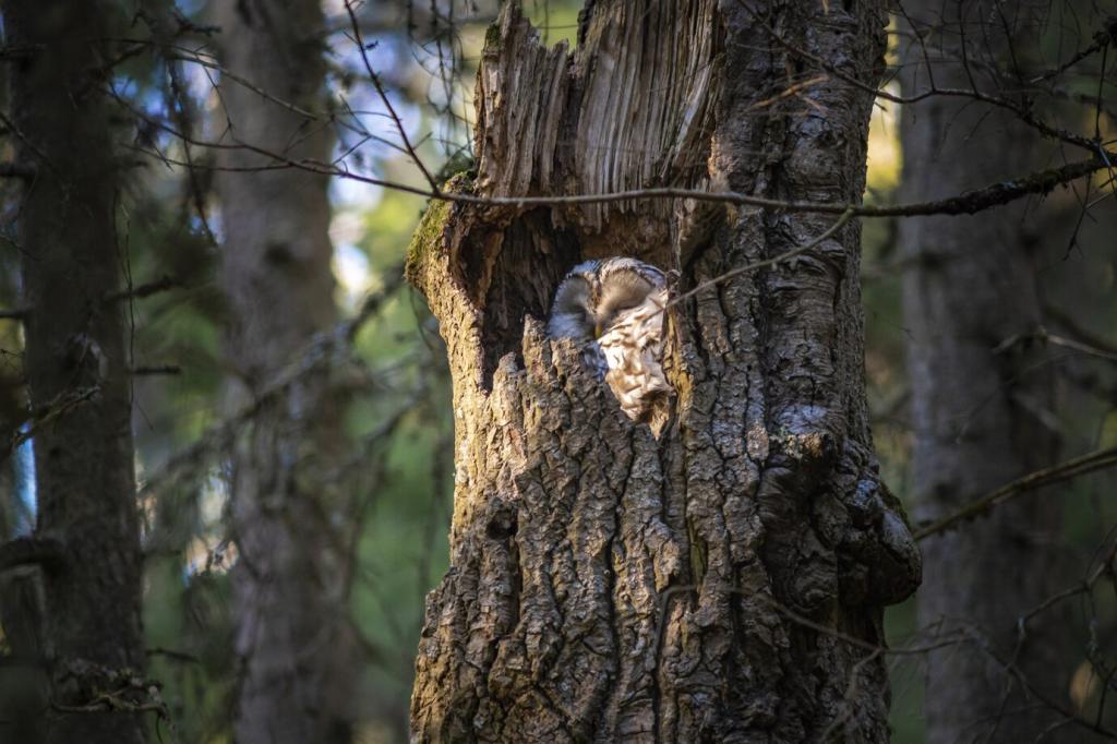
Quiet Cameras, Honest Behavior
Wildlife often alters behavior around humans. Discreet drones at careful altitudes capture natural foraging, migration routes, and den activity. One study documented nocturnal crossings that ground teams missed entirely. Interested in ethical flight settings? Comment for our downloadable checklist on altitude, noise, and timing.
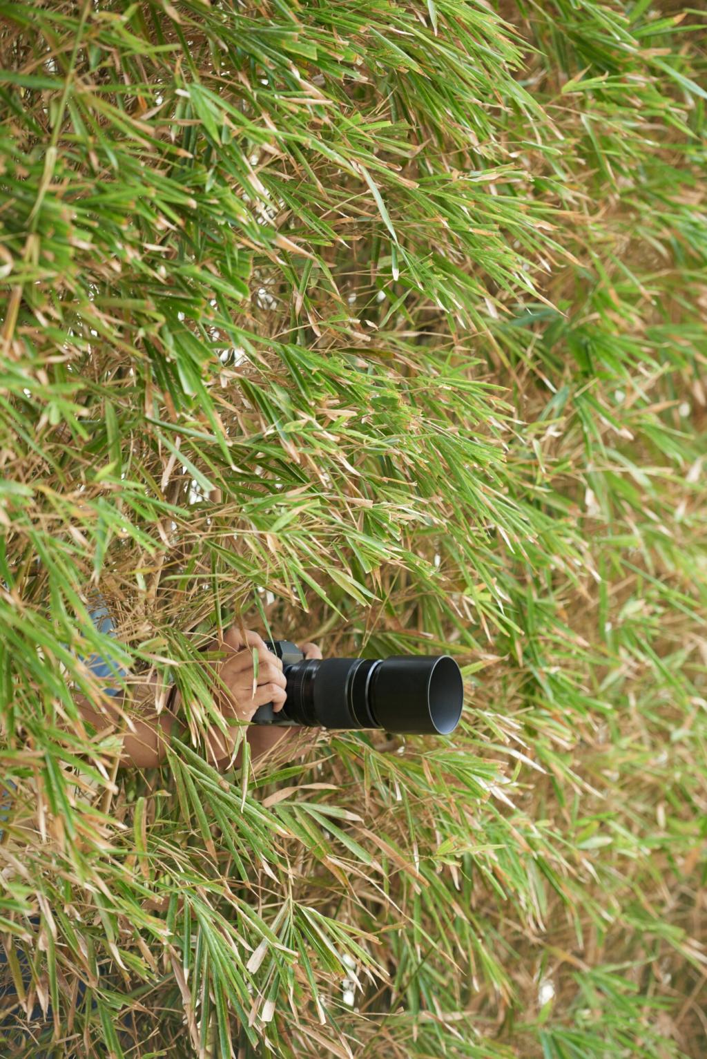
Citizen Scientists, Powerful Datasets
Community pilots contribute tagged photos to centralized platforms, accelerating habitat maps for pollinators, amphibians, and rare plants. Quality improves with shared standards and feedback. Want to join a pilot network? Subscribe, and we’ll match you with a local project seeking trained volunteers.
From Pixels to Policy: Turning Drone Data into Decisions
Edge Computing in the Wild
Onboard models now flag anomalies mid-flight, reducing unnecessary landings and speeding triage. A ranger in Sumatra rerouted instantly after the model detected probable illegal logging edges. Want a primer on edge versus cloud workflows? Ask below, and we’ll share our practical comparison guide.
Dashboards Rangers Actually Use
Clean interfaces matter. Color-blind-friendly palettes, offline syncing, and field-ready annotations turn complex data into actionable maps. Teams report fewer errors and faster briefings. If you have a favorite dashboard feature, describe it in the comments and we’ll compile a community-driven essentials list.
Open Data, Better Forests
Sharing non-sensitive layers—like canopy height or trail conditions—invites researchers, educators, and neighbors into stewardship. With clear metadata and privacy guardrails, collaboration thrives. Tell us what you’d publish first, and subscribe for our template license that balances openness with responsibility.
Field Notes: A Ranger’s First Week with a Drone
Marta’s hands trembled at the sticks. Wind tugged the treetops, and the valley hummed. She lifted, paused, then watched a stream appear on-screen like a living map. If you remember your first takeoff, share the moment that turned nerves into curiosity.

Getting Involved: Ethics, Training, and Community Science
Ethics Before Propellers
Respect nesting seasons, sacred sites, and privacy lines. Post flight advisories, log public questions, and invite feedback. When people understand the why, support grows. Tell us your code-of-conduct essentials, and we’ll publish a community standard others can adapt responsibly.